
Drone photogrammetry: orthophotos and 3D models
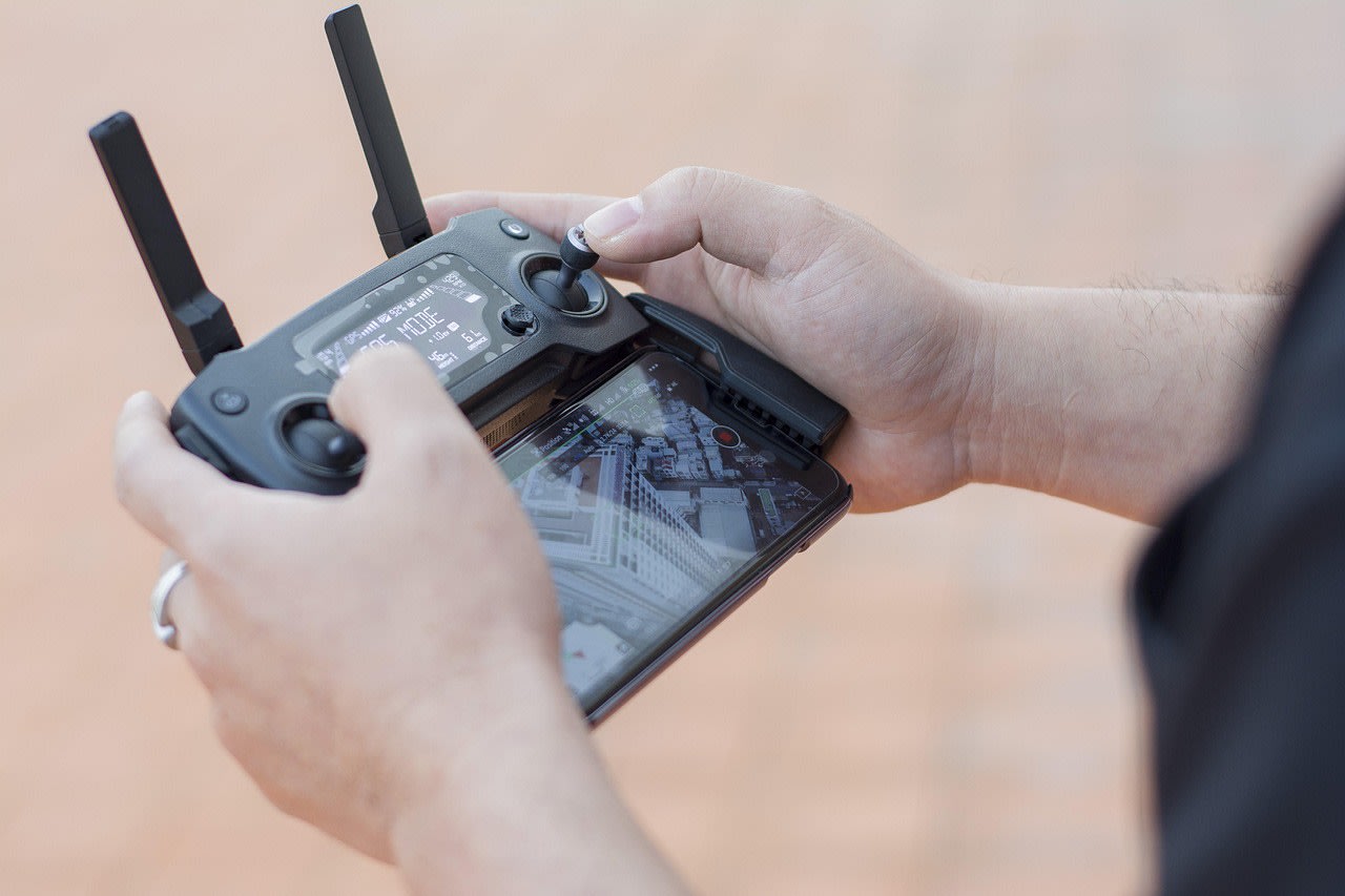
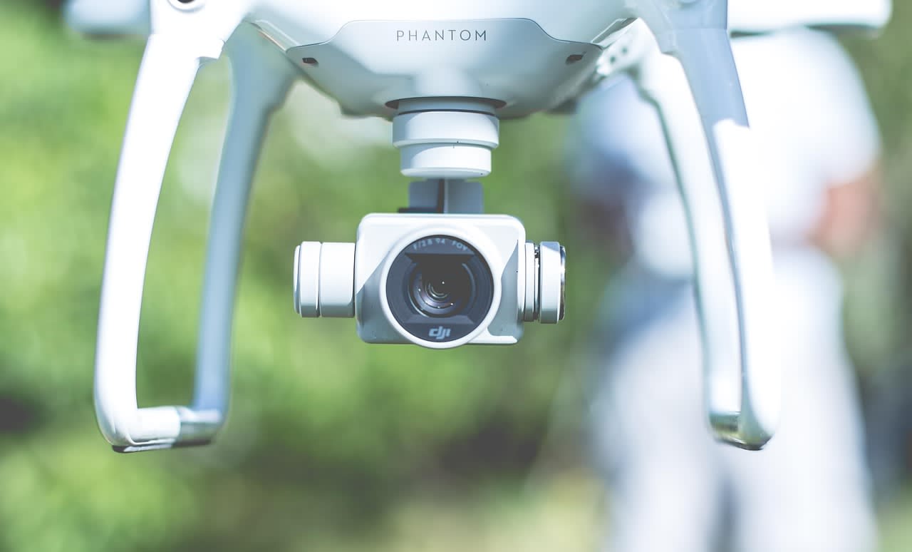
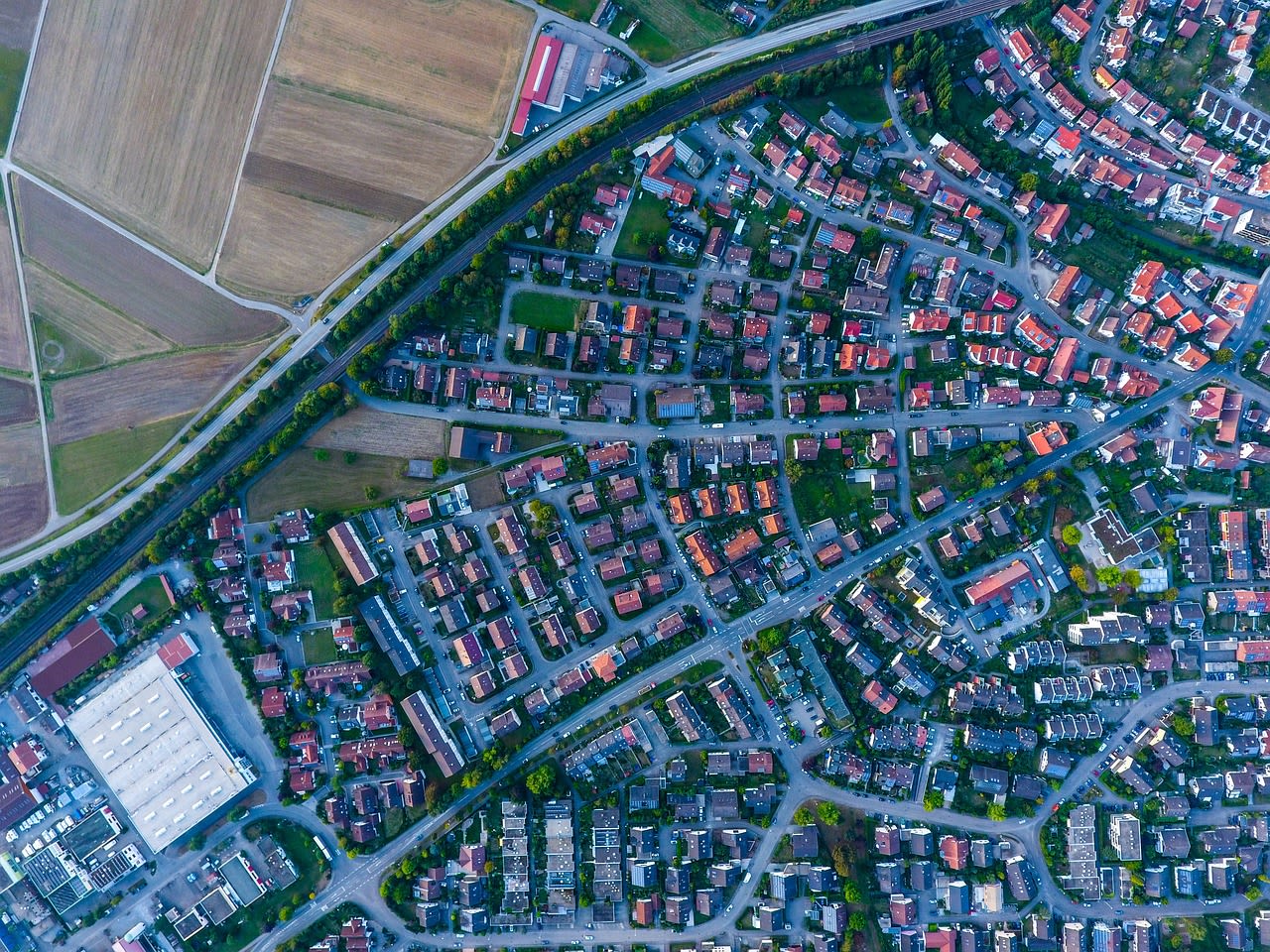
Drone surveys for construction sites, quarries, farms and land development in north-east Poland. From one flight you get an orthophoto, a digital surface model and volumes, all georeferenced with ground control.
- Flight planning and permits
- Ground control with GNSS
- Orthophoto, DSM and contours
- Volume calculations and progress reports
Open in the Tenderely app