
Geologic field mapping for exploration and engineering
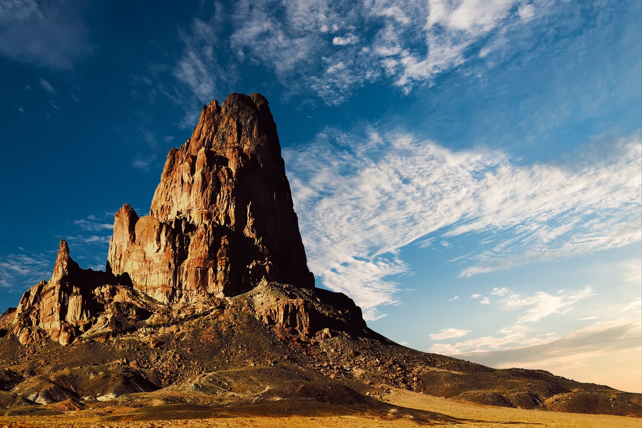
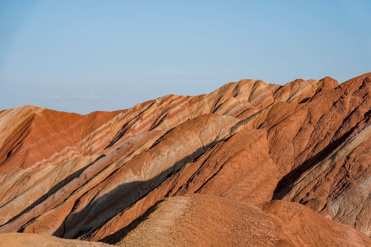
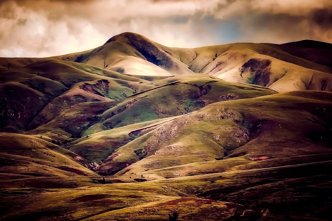
Detailed field mapping across the Pacific Northwest for exploration companies, consultants and public agencies. I map lithology, structure and alteration and deliver clean GIS layers along with a short interpretation.
- Field traverses and structural measurements
- Sampling with chain of custody
- GIS maps and cross-sections
- Short technical memo
Comfortable with remote and steep terrain.
Open in the Tenderely app