
Rock mass characterisation for tunnels, cuttings and quarries
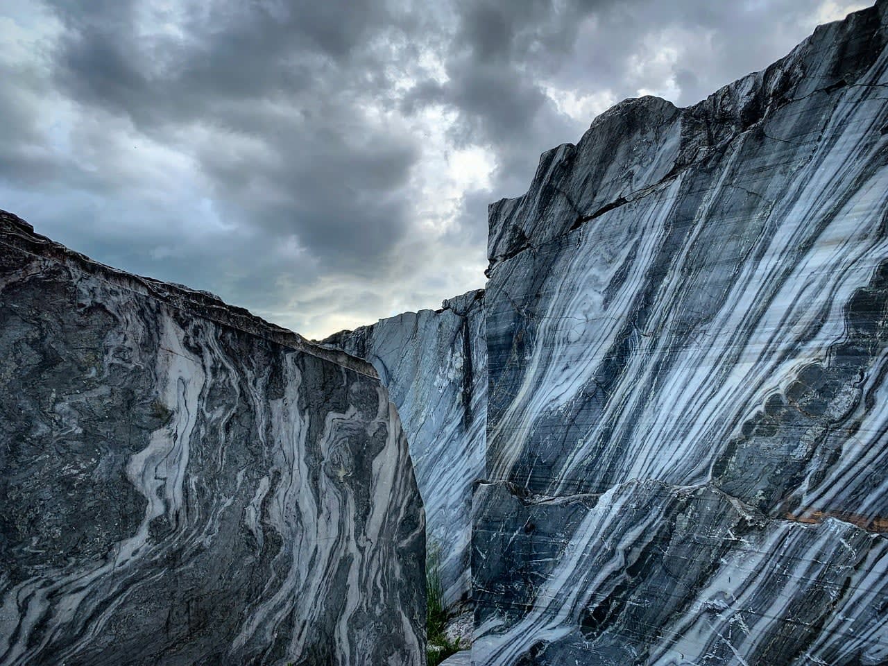
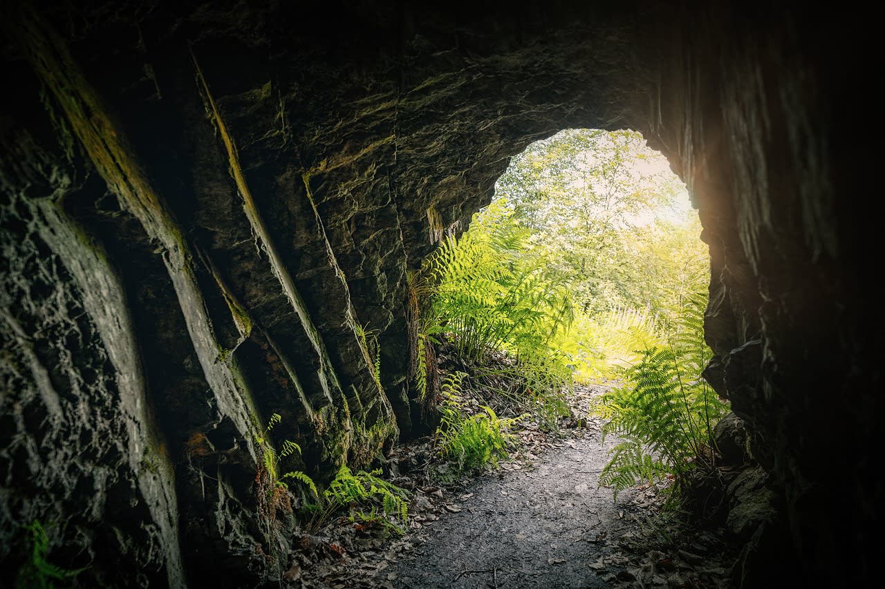
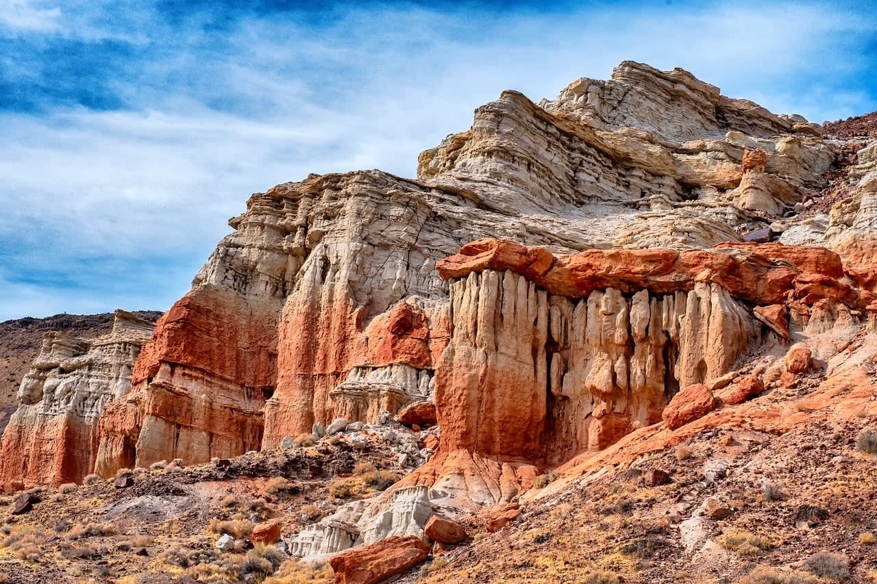
I carry out rock mass mapping and classification for tunnels, rock cuttings and quarry faces across the UK. Field data is turned into RMR, Q-system and GSI values that designers can use straight away.
- Discontinuity mapping and scanline surveys
- Core review and RQD
- RMR, Q and GSI classification
- Report with design parameters
Based in London, working nationwide.
Open in the Tenderely app