
Topographic surveys for planning and development sites
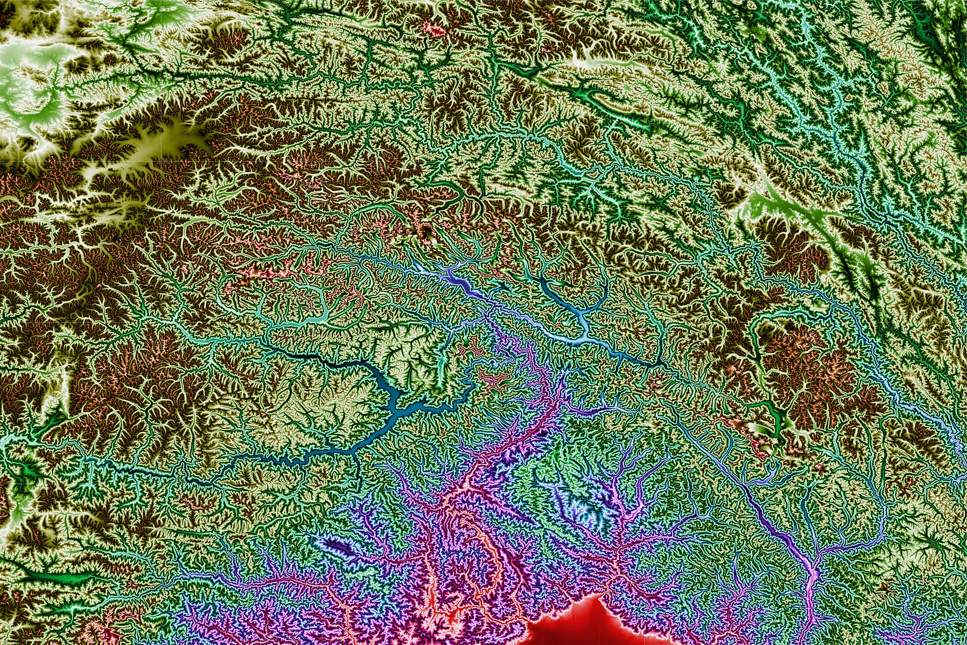
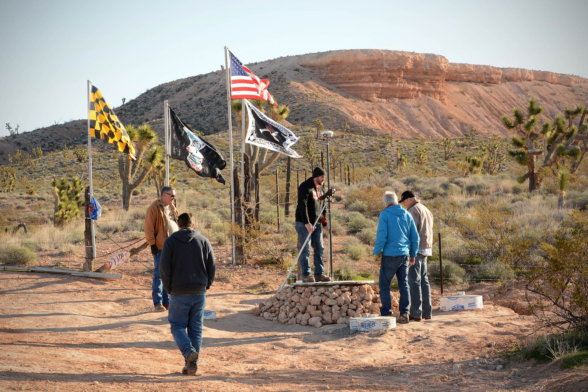
Topographic surveys in Bristol, Bath and the West of England for architects, developers and homeowners. Levels, trees, boundaries and drainage covers are captured accurately so your design starts from real ground conditions.
- GNSS and total station survey
- Levels, features, tree positions and boundaries
- Drainage manhole levels and inverts
- CAD drawing in OS grid
Quick turnaround for planning deadlines.
Open in the Tenderely app